ILUKA case study
3D-Dig provided a step change in our mine planning processes. The application allowed us to integrate and optimise our short, medium, and long-term planning from pre-strip to rehabilitation.— David Addinsall, Former Technical Services Manager, Jacinth-Ambrosia, Iluka
Iluka is an international mineral sands company with expertise in exploration, development, mining, processing, marketing and rehabilitation. The company has over 60 years’ experience in the mineral sands industry. Iluka’s portfolio includes operations in Australia and Sierra Leone; projects in Australia, Sierra Leone and Sri Lanka; and a globally integrated marketing and distribution network. Iluka is headquartered in Perth, Western Australia.
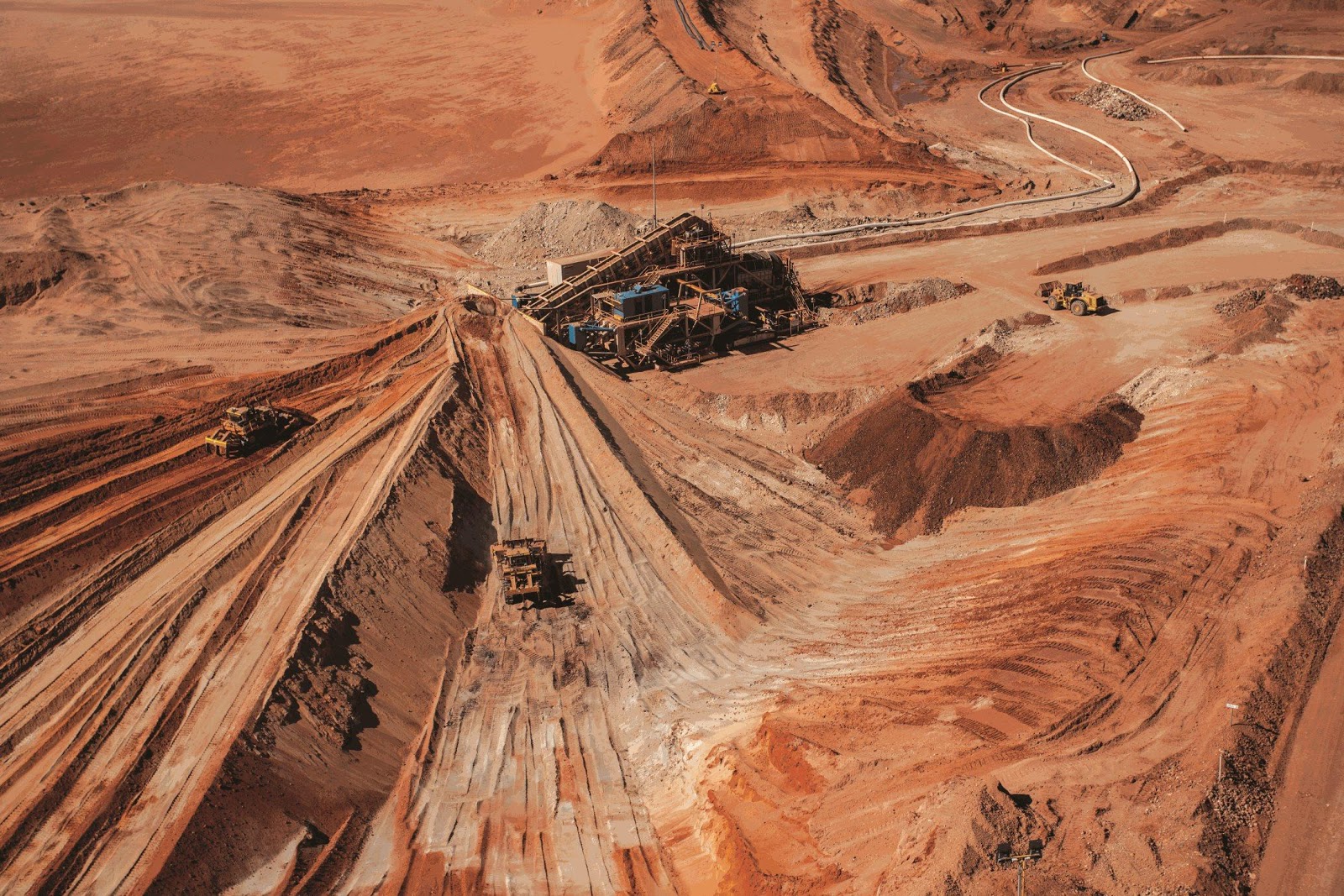
Iluka’s Jacinth-Ambrosia operation in South Australia is the world’s largest zircon mine. The deposit was discovered by Iluka in 2004 and production commenced in 2009.
Comprising two contiguous deposits, Jacinth and Ambrosia, the mine is located approximately 800 kilometres from Adelaide and 270 kilometres from the Port of Thevenard.
The operation encompasses mining and wet concentration activities with heavy mineral concentrate transported to Iluka’s Narngulu mineral separation plant in Western Australia for final processing.
The main product produced from Jacinth-Ambrosia is zircon, which is used in the manufacture of ceramics as well as in casting and foundry applications. Zircon is also used for the manufacture of zirconium chemicals that have a range of derivative applications, including zirconium metal.
Jacinth-Ambrosia is South Australia’s first mining development in a mixed use regional reserve (the Yellabina Regional Reserve), with the operation recognised consistently by the South Australian Government for its commitment to high standards of environmental management and high levels of indigenous employment.
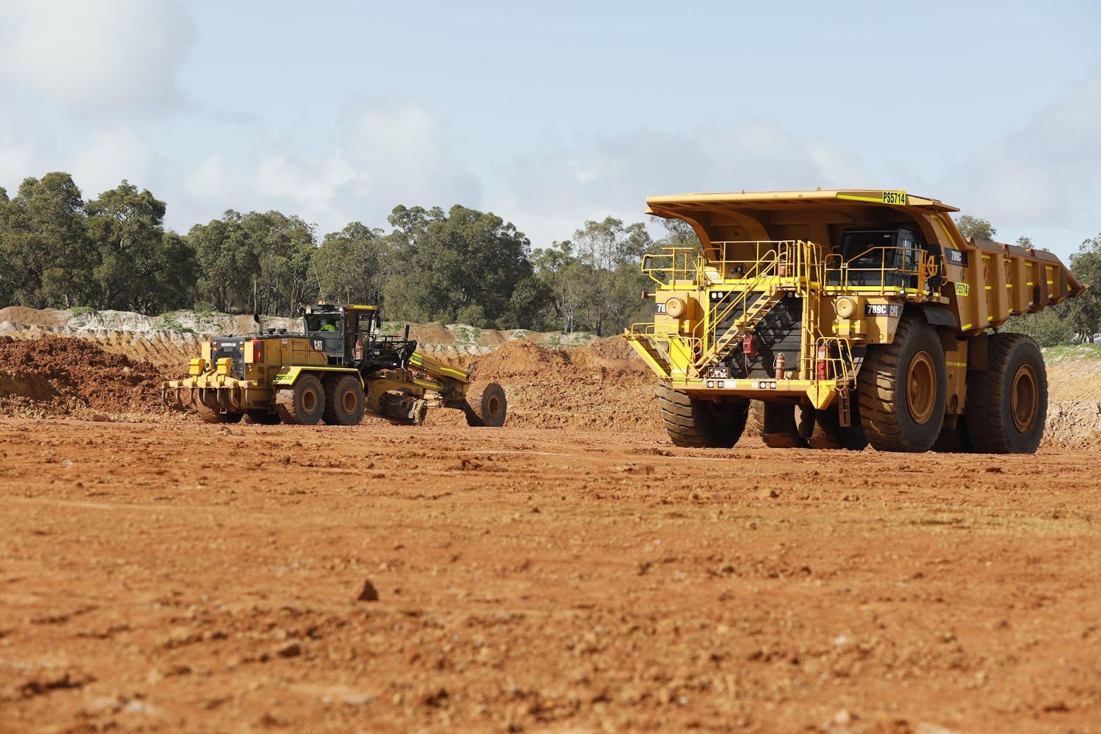
Traditionally, backfill planning encompassing both tailings and overburden return at the JacinthAmbrosia mine site relied on an iterative approach using multiple software applications.
While this approach does provide a reasonable result, it is often not fully optimised, the process is time consuming, it can be difficult to integrate between applications and can be challenging to effectively communicate the plan to those executing the works.
When multiple applications are used, common problems encountered include issues linking data, version control, maintaining consistency and data transfer across applications.
An approach was needed that:
Using Earth Technology’s 3D-Dig Plus software, Iluka’s Jacinth-Ambrosia mine site is now able to quickly update and optimise the life of mine schedule while considering backfill requirements. Detailed scenario analysis is now an integral part of the site’s regular mine plan updates. 3D-Dig has allowed for the rapid implementation of multiple substantial changes to the life of mine plan at the Jacinth-Ambrosia mine site in response to ever changing market conditions.
In conjunction with updating the life of mine plan, 3D-Dig has been used for other site projects including:
Using 3D-Dig on site provided a clearer picture of the long-term impact decisions had on the mine plan. This improved our decision-making ability on site and provided greater certainty for the business overall.— David Addinsall, Former Technical Services Manager, JacinthAmbrosia, Iluka
The life cycle of a tails storage facility has been captured in both PDF and video format and can be accessed below. The example shown is generic in nature to display the capability of 3D-Dig and does represent operations at the Jacinth-Ambrosia mine site.
3D-Dig Tailings Facility Example (PDF)
Over the past twenty-five years, Earth Technology has carried out mathematical and numerical modelling, research and software development in a range of specialist areas. This work has been done in conjunction with a number of other organizations who have acted as funding providers, specifiers, initial users, distributors and/or customers for Earth Technology’s services and products.
3D-Dig is Earth Technology’s Mining Simulation software system. The software is widely used in the Australian open-cut coal mining industry. An ACARP project in 1994 (conducted by ACIRL) initially verified the accuracy of 3D-Dig’s predictions. More recently 3D-Dig has been further developed and successfully marketed in North and South America and in South Africa.